volcanism

one-less-thing-to-worry-about-in-2025:-yellowstone-probably-won’t-go-boom

One less thing to worry about in 2025: Yellowstone probably won’t go boom


There’s not enough melted material near the surface to trigger a massive eruption.

It’s difficult to comprehend what 1,000 cubic kilometers of rock would look like. It’s even more difficult to imagine it being violently flung into the air. Yet the Yellowstone volcanic system blasted more than twice that amount of rock into the sky about 2 million years ago, and it has generated a number of massive (if somewhat smaller) eruptions since, and there have been even larger eruptions deeper in the past.

All of which might be enough to keep someone nervously watching the seismometers scattered throughout the area. But a new study suggests that there’s nothing to worry about in the near future: There’s not enough molten material pooled in one place to trigger the sort of violent eruptions that have caused massive disruptions in the past. The study also suggests that the primary focus of activity may be shifting outside of the caldera formed by past eruptions.

Understanding Yellowstone

Yellowstone is fueled by what’s known as a hotspot, where molten material from the Earth’s mantle percolates up through the crust. The rock that comes up through the crust is typically basaltic (a definition based on the ratio of elements in its composition) and can erupt directly. This tends to produce relatively gentle eruptions where lava flows across a broad area, generally like you see in Hawaii and Iceland. But this hot material can also melt rock within the crust, producing a material called rhyolite. This is a much more viscous material that does not flow very readily and, instead, can cause explosive eruptions.

The risks at Yellowstone are rhyolitic eruptions. But it can be difficult to tell the two types of molten material apart, at least while they’re several kilometers below the surface. Various efforts have been made over the years to track the molten material below Yellowstone, but differences in resolution and focus have left many unanswered questions.

Part of the problem is that a lot of this data came from studies of seismic waves traveling through the region. Their travel is influenced by various factors, including the composition of the material they’re traveling through, its temperature, and whether it’s a liquid or solid. In a lot of cases, this leaves several potential solutions consistent with the seismic data—you can potentially see the same behavior from different materials at different temperatures.

To get around this issue, the new research measured the conductivity of the rock, which can change by as much as three orders of magnitude when transitioning from a solid to a molten phase. The overall conductivity we measure also increases as more of the molten material is connected into a single reservoir rather than being dispersed into individual pockets.

This sort of “magnetotelluric” data has been obtained in the past but at a relatively low resolution. For the new study, a dense array of sensors was placed in the Yellowstone caldera and many surrounding areas to the north and east. (You can compare the previous and new recording sites as black and red triangles on this map.)

Yellowstone’s plumbing

That has allowed the research team to build a three-dimensional map of the molten material underneath Yellowstone and to determine the fraction of the material in a given area that’s molten. The team finds that there are two major sources of molten material that extend up from the mantle-crust boundary at about 50 kilometers below the surface. These extend upward separately but merge about 20 kilometers below the surface.
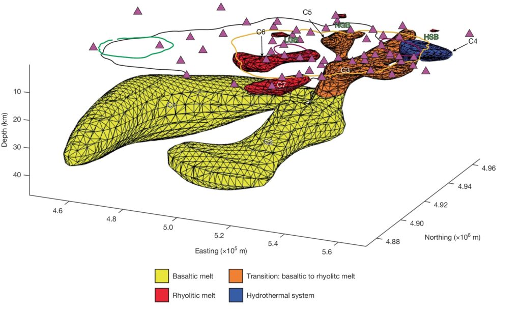
Image of two large yellow lobes sitting below a smaller collection of reddish orange blobs of material. These are matched with features on the surface, including the present caldera and the sites of past eruptions.

Underneath Yellowstone: Two large lobs of hot material from the mantle (in yellow) melt rock closer to the surface (orange), creating pools of hot material (red and orange) that power hydrothermal systems and past eruptions, and may be the sites of future activity. Credit: Bennington, et al.

While they collectively contain a lot of molten basaltic material (between 4,000 and 6,500 cubic kilometers of it), it’s not very concentrated. Instead, this is mostly relatively small volumes of molten material traveling through cracks and faults in solid rock. This keeps the concentration of molten material below that needed to enable eruptions.

After the two streams of basaltic material merge, they form a reservoir that includes a significant amount of melted crustal material—meaning rhyolitic. The amount of rhyolitic material here is, at most, under 500 cubic kilometers, so it could fuel a major eruption, albeit a small one by historic Yellowstone standards. But again, the fraction of melted material in this volume of rock is relatively low and not considered likely to enable eruptions.

From there to the surface, there are several distinct features. Relative to the hotspot, the North American plate above is moving to the west, which has historically meant that the site of eruptions has moved from west to east across the continent. Accordingly, there is a pool off to the west of the bulk of near-surface molten material that no longer seems to be connected to the rest of the system. It’s small, at only about 100 cubic kilometers of material, and is too diffused to enable a large eruption.

Future risks?

There’s a similar near-surface blob of molten material that may not currently be connected to the rest of the molten material to the south of that. It’s even smaller, likely less than 50 cubic kilometers of material. But it sits just below a large blob of molten basalt, so it is likely to be receiving a fair amount of heat input. This site seems to have also fueled the most recent large eruption in the caldera. So, while it can’t fuel a large eruption today, it’s not possible to rule the site out for the future.

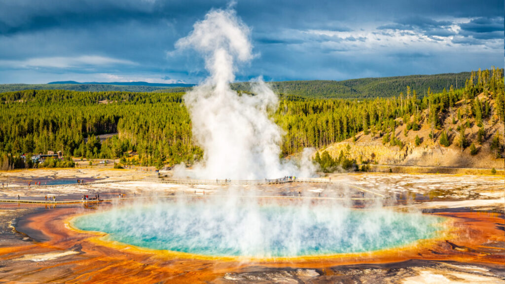
Two other near-surface areas containing molten material appear to power two of the major sites of hydrothermal activity, the Norris Geyser Basin and Hot Springs Basin. These are on the northern and eastern edges of the caldera, respectively. The one to the east contains a small amount of material that isn’t concentrated enough to trigger eruptions.

But the site to the northeast contains the largest volume of rhyolitic material, with up to nearly 500 cubic kilometers. It’s also one of only two regions with a direct connection to the molten material moving up through the crust. So, while it’s not currently poised to erupt, this appears to be the most likely area to trigger a major eruption in the future.

In summary, while there’s a lot of molten material near the current caldera, all of it is spread too diffusely within the solid rock to enable it to trigger a major eruption. Significant changes will need to take place before we see the site cover much of North America with ash again. Beyond that, the image is consistent with our big-picture view of the Yellowstone hotspot, which has left a trail of eruptions across western North America, driven by the movement of the North American plate.

That movement has now left one pool of molten material on the west of the caldera disconnected from any heat sources, which will likely allow it to cool. Meanwhile, the largest pool of near-surface molten rock is east of the caldera, which may ultimately drive a transition of explosive eruptions outside the present caldera.

Nature, 2025. DOI: 10.1038/s41586-024-08286-z  (About DOIs).

Photo of John Timmer

John is Ars Technica’s science editor. He has a Bachelor of Arts in Biochemistry from Columbia University, and a Ph.D. in Molecular and Cell Biology from the University of California, Berkeley. When physically separated from his keyboard, he tends to seek out a bicycle, or a scenic location for communing with his hiking boots.

One less thing to worry about in 2025: Yellowstone probably won’t go boom Read More »
how-did-volcanism-trigger-climate-change-before-the-eruptions-started?

How did volcanism trigger climate change before the eruptions started?

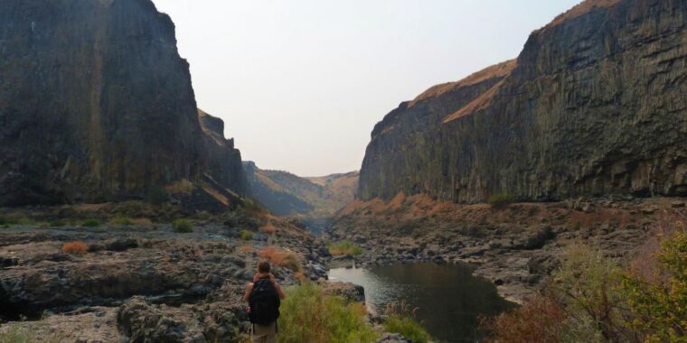
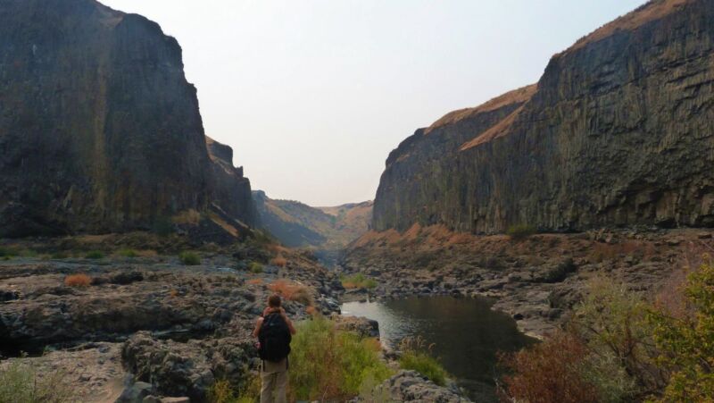
Image of a person in a stream-filled gap between two tall rock faces.

Enlarge / Loads of lava: Kasbohm with a few solidified lava flows of the Columbia River Basalts.

Joshua Murray

As our climate warms beyond its historical range, scientists increasingly need to study climates deeper in the planet’s past to get information about our future. One object of study is a warming event known as the Miocene Climate Optimum (MCO) from about 17 to 15 million years ago. It coincided with floods of basalt lava that covered a large area of the Northwestern US, creating what are called the “Columbia River Basalts.” This timing suggests that volcanic CO2 was the cause of the warming.

Those eruptions were the most recent example of a “Large Igneous Province,” a phenomenon that has repeatedly triggered climate upheavals and mass extinctions throughout Earth’s past. The Miocene version was relatively benign; it saw CO2 levels and global temperatures rise, causing ecosystem changes and significant melting of Antarctic ice, but didn’t trigger a mass extinction.

A paper just published in Geology, led by Jennifer Kasbohm of the Carnegie Science’s Earth and Planets Laboratory, upends the idea that the eruptions triggered the warming while still blaming them for the peak climate warmth.

The study is the result of the world’s first successful application of high-precision radiometric dating on climate records obtained by drilling into ocean sediments, opening the door to improved measurements of past climate changes. As a bonus, it confirms the validity of mathematical models of our orbits around the Solar System over deep time.

A past climate with today’s CO2 levels

“Today, with 420 parts per million [of CO2], we are basically entering the Miocene Climate Optimum,” said Thomas Westerhold of the University of Bremen, who peer-reviewed Kasbohm’s study. While our CO2 levels match, global temperatures have not yet reached the MCO temperatures of up to 8° C above the preindustrial era. “We are moving the Earth System from what we call the Ice House world… in the complete opposite direction,” said Westerhold.

When Kasbohm began looking into the link between the basalts and the MCO’s warming in 2015, she found that the correlation had huge uncertainties. So she applied high-precision radiometric dating, using the radioactive decay of uranium trapped within zircon crystals to determine the age of the basalts. She found that her new ages no longer spanned the MCO warming. “All of these eruptions [are] crammed into just a small part of the Miocene Climate Optimum,” said Kasbohm.

But there were also huge uncertainties in the dates for the MCO, so it was possible that the mismatch was an artifact of those uncertainties. Kasbohm set out to apply the same high-precision dating to the marine sediments that record the MCO.

A new approach to an old problem

“What’s really exciting… is that this is the first time anyone’s applied this technique to sediments in these ocean drill cores,” said Kasbohm.

Normally, dates for ocean sediments drilled from the seabed are determined using a combination of fossil changes, magnetic field reversals, and aligning patterns of sediment layers with orbital wobbles calculated by astronomers. Each of those methods has uncertainties that are compounded by gaps in the sediment caused by the drilling process and by natural pauses in the deposition of material. Those make it tricky to match different records with the precision needed to determine cause and effect.

The uncertainties made the timing of the MCO unclear.

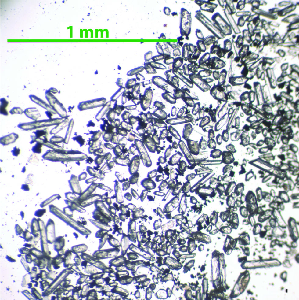
Tiny clocks: Zircon crystals from volcanic ash that fell into the Caribbean Sea during the Miocene.

Enlarge / Tiny clocks: Zircon crystals from volcanic ash that fell into the Caribbean Sea during the Miocene.

Jennifer Kasbohm

Radiometric dating would circumvent those uncertainties. But until about 15 years ago, its dates had such large errors that they were useless for addressing questions like the timing of the MCO. The technique also typically needs kilograms of material to find enough uranium-containing zircon crystals, whereas ocean drill cores yield just grams.

But scientists have significantly reduced those limitations: “Across the board, people have been working to track and quantify and minimize every aspect of uncertainty that goes into the measurements we make. And that’s what allows me to report these ages with such great precision,” Kasbohm said.

How did volcanism trigger climate change before the eruptions started? Read More »

the-moon-had-volcanic-activity-much-more-recently-than-we-knew

The Moon had volcanic activity much more recently than we knew

New Moon —

Eruptions seem to have continued long after widespread volcanism had ended.

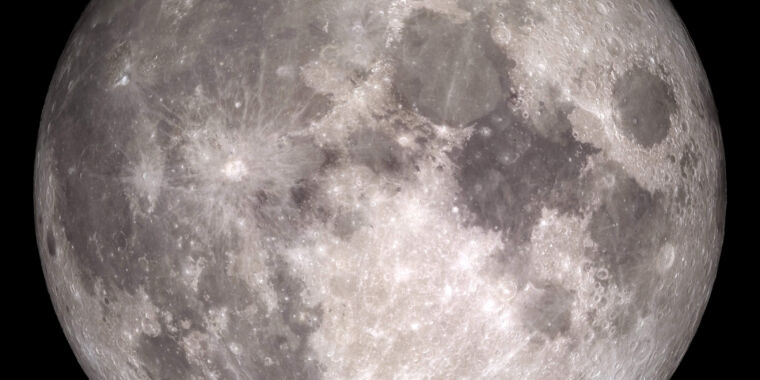
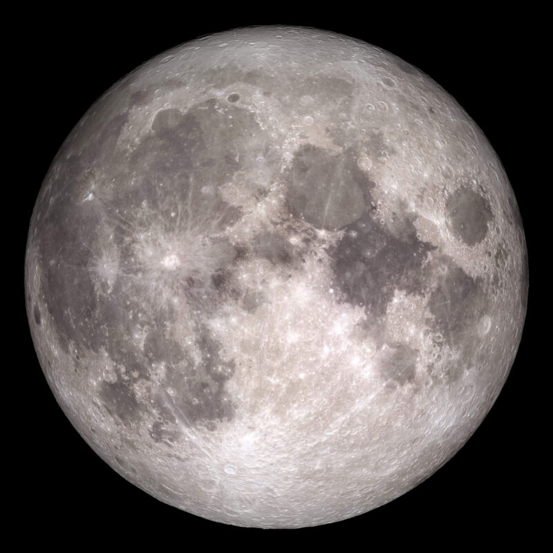
Image of the face of the Moon.

Enlarge / The eruptions that produced the dark mare on the lunar surface ended billions of years ago.

Signs of volcanic activity on the Moon can be viewed simply by looking up at the night-time sky: The large, dark plains called “maria” are the product of massive outbursts of volcanic material. But these were put in place relatively early in the Moon’s history, with their formation ending roughly 3 billion years ago. Smaller-scale additions may have continued until roughly 2 billion years ago. Evidence of that activity includes samples obtained by China’s Chang’e-5 lander.

But there are hints that small-scale volcanism continued until much more recent times. Observations from space have identified terrain that seems to be the product of eruptions, but only has a limited number of craters, suggesting a relatively young age. But there’s considerable uncertainty about these deposits.

Now, further data from samples returned to Earth by the Chang’e-5 mission show clear evidence of volcanism that is truly recent in the context of the history of the Solar System. Small beads that formed during an eruption have been dated to just 125 million years ago.

Counting beads

Obviously, some of the samples returned by Chang’e-5 are solid rock. But it also returned a lot of loose material from the lunar regolith. And that includes a decent number of rounded, glassy beads formed from molten material. There are two potential sources of those beads: volcanic activity and impacts.

The Moon is constantly bombarded by particles ranging in size from individual atoms to small rocks, and many of these arrive with enough energy to melt whatever it is they smash into. Some of that molten material will form these beads, which may then be scattered widely by further impacts. The composition of these beads can vary wildly, as they’re composed of either whatever smashed into the Moon or whatever was on the Moon that got smashed. So, the relative concentrations of different materials will be all over the map.

By contrast, any relatively recent volcanism on the Moon will be extremely rare, so is likely to be from a single site and have a single composition. And, conveniently, the Apollo missions already returned samples of volcanic lunar rocks, which provide a model for what that composition might look like. So, the challenge was one of sorting through the beads returned from the Chang’e-5 landing site, and figuring out which ones looked volcanic.

And it really was a challenge, as there were over 3,000 beads returned, and the vast majority of them would have originated in impacts.

As a first cutoff, the team behind the new work got rid of anything that had a mixed composition, such as unmelted material embedded in the bead, or obvious compositional variation. This took the 3,000 beads down to 764. Those remaining beads were then subject to a technique that could determine what chemicals were present. (The team used an electron probe microanalyzer, which bombards the sample with electrons and uses the photons that are emitted to determine what elements are present.) As expected, compositions were all over the map. Some beads were less than 1 percent magnesium oxide; others nearly 30 percent. Silicon dioxide ranged from 16 to 60 percent.

Based on the Apollo samples, the researchers selected for beads that were high in magnesium oxide relative to calcium and aluminum oxides. That got them down to 13 potentially volcanic samples. They also looked for low nickel, as that’s found in many impactors, which got the number down to six. The final step was to look at sulfur isotopes, as impact melting tends to preferentially release the lighter isotope, altering the ratio compared to intact lunar rocks.

After all that, the researchers were left with three of the glassy beads, which is a big step down from the 3,000 they started with.

Erupted

Those three were then used to perform uranium-based radioactive dating, and they all produced numbers that were relatively close to each other. Based on the overlapping uncertainties, the researchers conclude that all were the product of an eruption that took place about 123 million years ago, give or take 15 million years. Considering that the most recent confirmed eruptions were about 2 billion years ago, that’s a major step forward in timing.

And that’s quite a bit of a surprise, as the Moon has had plenty of time to cool, and that cooling would have increased the distance between its surface and any molten material left in the interior. So it’s not obvious what could be creating sufficient heating to generate molten material at present. The researchers note that the Moon has a lot of material called KREEP (potassium, rare earth elements, phosphorus) that is high in radioactive isotopes and might lead to localized heating in some circumstances.

Unfortunately, it will be tough to associate this with any local geology, since there’s no indication of where the eruption occurred. Material this small can travel quite a distance in the Moon’s weak gravitational field and then could be scattered even farther by impacts. So, it’s possible that these belong to features that have been identified as potentially volcanic through orbital images.

In the meantime, the increased exploration of the Moon planned for the next few decades should get us more opportunities to see whether similar materials are widespread on the lunar surface. Eventually, that might potentially allow us to identify an area with higher concentrations of volcanic material than one particle in a thousand.

Science, 2024. DOI: 10.1126/science.adk6635  (About DOIs).

The Moon had volcanic activity much more recently than we knew Read More »

how-the-moon-got-a-makeover

How the Moon got a makeover

Putting on a new face —

The Moon’s former surface sank to the depths, until volcanism brought it back.

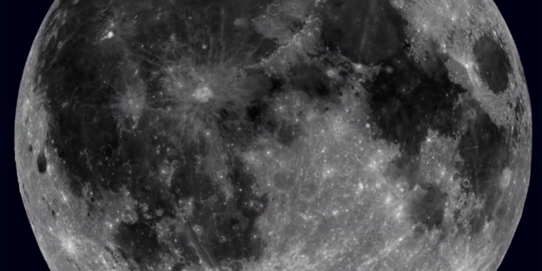
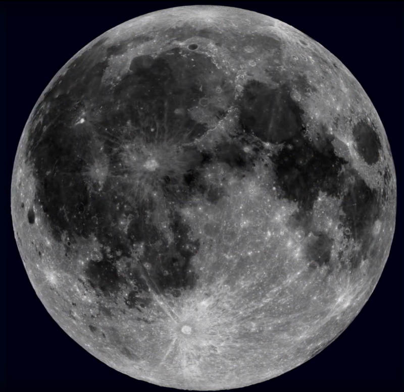
Image of the moon.

Our Moon may appear to shine peacefully in the night sky, but billions of years ago, it was given a facial by volcanic turmoil.

One question that has gone unanswered for decades is why there are more titanium-rich volcanic rocks, such as ilmenite, on the near side as opposed to the far side. Now a team of researchers at Arizona Lunar and Planetary Laboratory are proposing a possible explanation for that.

The lunar surface was once flooded by a bubbling magma ocean, and after the magma ocean had hardened, there was an enormous impact on the far side. Heat from this impact spread to the near side and made the crust unstable, causing sheets of heavier and denser minerals on the surface to gradually sink deep into the mantle. These melted again and were belched out by volcanoes. Lava from these eruptions (more of which happened on the near side) ended up in what are now titanium-rich flows of volcanic rock. In other words, the Moon’s old face vanished, only to resurface.

What lies beneath

The region of the Moon in question is known as the Procellarum KREEP Terrane (PKT). KREEP signifies high concentrations of potassium (K), rare earth elements (REE), and phosphorus (P). This is also where ilmenite-rich basalts are found. Both KREEP and the basalts are thought to have first formed when the Moon was cooling from its magma ocean phase. But the region stayed hot, as KREEP also contains high levels of radioactive uranium and thorium.

“The PKT region… represents the most volcanically active region on the Moon as a natural result of the high abundances of heat-producing elements,” the researchers said in a study recently published in Nature Geoscience.

Why is this region located on the near side, while the far side is lacking in KREEP and ilmenite-rich basalts? There was one existing hypothesis that caught the researchers’ attention: it proposed that after the magma ocean hardened on the near side, sheets of these KREEP minerals were too heavy to stay on the surface. They began to sink into the mantle and down to the border between the mantle and core. As they sank, these mineral sheets were thought to have left behind trace amounts of material throughout the mantle.

If the hypothesis was accurate, this would mean there should be traces of minerals from the hardened KREEP magma crust in sheet-like configurations beneath the lunar surface, which could reach all the way down to the edge of the core-mantle boundary.

How could that be tested? Gravity data from the GRAIL (Gravity Recovery and Interior Laboratory) mission to the Moon possibly had the answer. It would allow them to detect gravitational anomalies caused by the higher density of the KREEP rock compared to surrounding materials.

Coming to the surface

GRAIL data had previously revealed that there was a pattern of subsurface gravitational anomalies in the PKT region. This appeared similar to the pattern that the sheets of volcanic rock were predicted to have made as they sank, which is why the research team decided to run a computer simulation of sinking KREEP to see how well the hypothesis matched up with the GRAIL findings.

Sure enough, the simulation ended up forming just about the same pattern as the anomalies GRAIL found. The polygonal pattern seen in both the simulations and GRAIL data most likely means that traces of heavier KREEP and ilmenite-rich basalt layers were left behind beneath the surface as those layers sank due to their density, and GRAIL detected their residue due to their greater gravitational pull. GRAIL also suggested there were many lesser anomalies in the PKT region, which makes sense considering that a large part of the crust is made of volcanic rocks thought to have sunk and left behind residue before they melted and surfaced again through eruptions.

We now also have an idea of when this phenomenon occurred. Because there are impact basins that dated to around 4.22 billion years ago (not to be confused with the earlier far-side impact), but the magma ocean is thought to have hardened before that, the researchers think that the crust also began to sink before that time.

“The PKT border anomalies provide the most direct physical evidence for the nature of the post-magma ocean… mantle overturn and sinking of ilmenite into the deep interior,” the team said in the same study.

This is just one more bit of information regarding how the Moon evolved and why it is so uneven. The near side once raged with lava that is now volcanic rock, much of which exists in flows called mare (which translates to “sea” in Latin). Most of this volcanic rock, especially in the PKT region, contains rare earth elements.

We can only confirm that there really are traces of ancient crust inside the Moon by the collection of actual lunar material far beneath the surface. When Artemis astronauts are finally able to gather samples of volcanic material from the Moon in situ, who knows what will come to the surface?

Nature Geoscience, 2024.  DOI: 10.1038/s41561-024-01408-2

How the Moon got a makeover Read More »

io:-new-image-of-a-lake-of-fire,-signs-of-permanent-volcanism

Io: New image of a lake of fire, signs of permanent volcanism

Io: New image of a lake of fire, signs of permanent volcanism

Ever since the Voyager mission sent home images of Jupiter’s moon Io spewing material into space, we’ve gradually built up a clearer picture of Io’s volcanic activity. It slowly became clear that Io, which is a bit smaller than Mercury, is the most volcanically active body in the Solar System, with all that activity driven by the gravitational strain caused by Jupiter and its three other giant moons. There is so much volcanism that its surface has been completely remodeled, with no signs of impact craters.

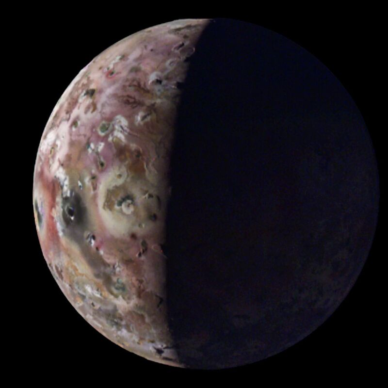
A few more details about its violence came to light this week, with new images being released of the moon’s features, including an island in a lake of lava, taken by the Juno orbiter. At the same time, imaging done using an Earth-based telescope has provided some indications that this volcanism has been reshaping Io from almost the moment it formed.

Fiery, glassy lakes

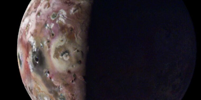
The Juno orbiter’s mission is primarily focused on studying Jupiter, including the dynamics of its storms and its internal composition. But many of its orbital passes have taken it right past Io, and this week, the Jet Propulsion Laboratory released some of the best images from these flybys. They include a shot of Loki Patera, a lake of lava that has an island within it. Also featured: the impossibly sheer slopes of Io’s Steeple Mountain.

Looking more closely at the lake, the Juno team found that some of the areas within it were incredibly smooth, raising the possibility that obsidian glass had formed on the surface where it had cooled enough to solidify. Given the level of volcanism on Io, this may be more widespread than the Loki Patera.

Volcanic ash would also create a relatively smooth surface, and is likely to be even more common, but it would have significantly different reflective properties.

How long has this been going on?

But we don’t have to send hardware to Jupiter to learn something about Io. A US-based team got time on the Atacama Large Millimeter Array (ALMA) and used it to record emissions from atoms in Io’s sparse atmosphere. By combining the imaging power of lots of smaller telescopes scattered across a plateau, ALMA is able to spot regional differences in the presence of specific elements in Io’s atmosphere, as well as identify different isotopes of those elements.

What can isotopes tell us? Any atoms that reach Io’s upper atmosphere are at risk of being lost to space. And, because of their relative atomic weights, lighter isotopes have a higher probability of being lost. So, it’s possible to compare the present ratio of elements in the atmosphere with the expected ratio, and we can make inferences about the history of loss of lighter isotopes. And, since the material is put into the atmosphere by volcanoes in the first place, that tells us something about the history of volcanism.

The research team focused on two particular elements: sulfur and chlorine. Sulfur has two common non-radioactive isotopes, 32S and 34S, and chlorine, its neighbor on the periodic table, has 35Cl and 37Cl. There are differences in the ratio of these isotopes throughout the bodies of the Solar System, but those differences are generally small. And, because we think we know what sort of material contributed to the formation of Io, we can focus on the ratios found in bodies that have a similar origin.

Chlorine enters the atmosphere from volcanoes primarily in the form of sodium and potassium salts. These have a very short half-life before they’re split up by exposure to light and radiation. The ALMA data indicated both these chemicals were present in localized regions, likely corresponding to active volcanic plumes. The data from the chlorine isotopes were a bit noisy, so were largely used as a sanity check for the ones obtained from sulfur isotopes.

Io: New image of a lake of fire, signs of permanent volcanism Read More »